Skip to content

Deep Evidential Regression for Sparse Forest Height Estimation from Multimodal Satellite Imagery

Aug 2026 · 0 citations · 21 references
Computer Science

TL;DR

The proposed Deep Evidential Regression for forest height estimation on the TreeUQ benchmark, a large-scale dataset designed for the joint estimation of tree count and average tree height at 10 m resolution, achieves predictive performance comparable to a deterministic U-Net while additionally providing well-calibrated uncertainty estimates.

Abstract

Accurate estimation of forest height from satellite imagery is essential for applications such as carbon accounting, biodiversity monitoring, and ecosystem management. While recent deep learning approaches provide accurate predictions, they typically do not quantify predictive uncertainty. This limitation is particularly relevant in geospatial settings characterized by sparse supervision and geographic distribution shift. In this work, we investigate Deep Evidential Regression (DER) for forest height estimation on the TreeUQ benchmark, a large-scale dataset designed for the joint estimation of tree count and average tree height at 10 m resolution, based on Sentinel-1/-2 data as well as tree inventory data over the federal state of Bavaria. To account for the extreme label sparsity of the tree inventory data, we introduce a masked evidential loss for dense geospatial prediction. Using a U-Net architecture with multimodal Sentinel-1 and Sentinel-2 inputs, the proposed approach jointly predicts tree height and associated uncertainty estimates in a single forward pass. Experimental results show that DER achieves predictive performance comparable to a deterministic U-Net while additionally providing well-calibrated uncertainty estimates. These findings demonstrate the potential of evidential learning as an efficient framework for uncertainty-aware forest structure estimation from Earth observation data.

View source

Similar papers

#machine learning Preprint Aug 2026

Spatially explicit feature importance for building height estimation using research-access high-resolution SAR and optical sensors

Accurate building height information at the individual footprint scale is essential for material stock accounting and post-disaster damage assessments yet remains difficult to obtain at city scale in the Global South where airborne LiDAR coverage is rare and commercial very high-resolution imagery is cost-prohibitive o...

Guilherme Iablonovski, P. Frison, T. D. da Silva · 0 citations
Open access 2026

AlphaEarth Foundations Provide Superior Accuracy in Vegetation Height Mapping Across Severely Disturbed Forest Areas

Large-scale vegetation height mapping remains a key challenge in remote sensing, with implications for harvest planning, carbon accounting, and habitat assessment. Despite recent methodological advances, limitations persist, including signal saturation in high biomass stands and high preprocessing demands for multisens...

Md Fazlul Karim, P. Washaya, M. Potterf et al. · 0 citations
Open access 2026

GEDI-Guided Deep Learning for Forest Canopy Height Completion Using Sentinel-2 Imagery, Sparse LiDAR Observations, and Gradient-Based Reconstruction

GEDI-Guided Sentinel Network (GSen-Net), a deep learning framework for dense canopy height completion from Sentinel-2 multispectral imagery and sparse GEDI RH98 observations is proposed, which reformulates canopy height estimation as a gradient-based completion problem, in which spatial height gradients are predicted a...

Quoc Khanh Tran, B. Quoc, Hoài Phương et al. · 0 citations
Open access 2026

Paving the Way for Uncertainty-Aware Forestry Products Using TanDEM-X and AI

A novel Bayesian DL framework for the uncertainty-aware estimation of forest height from single-pass TanDEM-X InSAR data, marking its first application to synthetic aperture radar interferometry and paving the way for real-world prediction of uncertainty-aware forest canopy height products from InSAR data.

Daniel Carcereri, Federico Ghio, S. Puliti et al. · 0 citations
Preprint Aug 2026

Transferable Above-Ground Biomass (AGB) Estimation Model from Multi-Sensor Data with Sparse Field Calibration

Spatially continuous quantification of forest above-ground biomass (AGB) is what makes carbon accounting credible and mitigation strategies actionable. While field inventories provide high localized accuracy, they are spatially sparse; conversely, spaceborne LiDAR from the Global Ecosystem Dynamics Investigation (GEDI)...

Pann Thinzar Seint, Bryan Atwood, S. Chhatkuli · 0 citations
Review Sep 2026

Propagation of plot location uncertainty through unit-level small area estimation in operational forest inventory

Contemporary sources of remotely sensed data (e.g. Sentinel-2, LiDAR) invite reconsideration of forest cruising methodology through model-based estimation such as small area estimation (SAE). The unit-level nested error regression model is attractive because it exploits fine-grained auxiliary data to model within-stand...

Brian Turnquist, Brian Watson, H. Temesgen et al. · 0 citations

Related blog posts

Microsoft Research Blog Aug 11, 2026

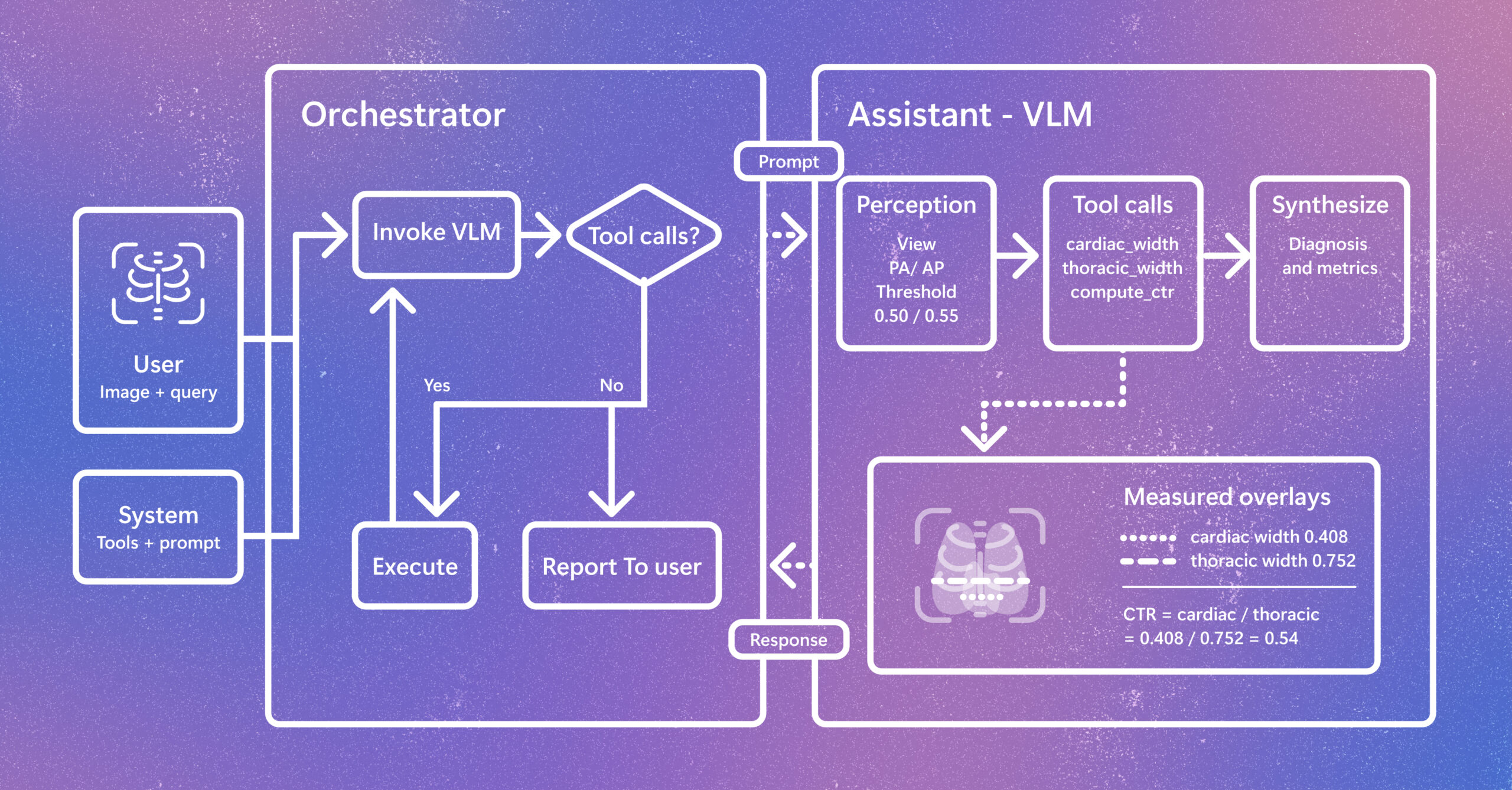
Introducing CARE-X: Towards Clinically Useful Radiology VLMs with Auxiliary Supervision, Reward-Aligned Learning, and Tool-Augmented Measurement

Radiology AI is evolving beyond report generation. CARE-X explores a unified approach that combines flexible reasoning, calibrated predictions, and measurement-based tools for chest X-ray interpretation. The post Introducing CARE-X: Towards Clinically Useful Radiology VLMs with Auxiliary Supervision, Reward-Aligned Learning, and Tool-Augmented Measurement appeared first on Microsoft Research.

We use cookies to run the site and, with your consent, for analytics and to show ads. See our Cookie Policy.