Skip to content

Enhancing Road Safety Through Multi-Camera Image Segmentation with Post-Encroachment Time Analysis

Nov 2025 · arXiv.org · Vol abs/2511.12018 · 0 citations · 28 references
Computer Science

TL;DR

Results across multiple time intervals demonstrate the framework's ability to identify high-risk regions with sub-second temporal sensitivity and real-time edge throughput, generating 800 x 800 logarithmic heatmaps at an average of 2.68 FPS.

Abstract

Traffic safety analysis at signalized intersections is essential for reducing vehicle and pedestrian collisions, yet traditional crash-based studies are limited by data sparsity and reporting latency. This paper presents a multi-camera computer vision framework for real-time safety assessment through Post-Encroachment Time (PET) computation, demonstrated at the intersection of H Street and Broadway in Chula Vista, California. Four synchronized cameras provide continuous visual coverage, with frames processed on NVIDIA Jetson AGX Xavier edge devices using YOLOv11 segmentation for vehicle detection. Detected vehicle polygons are transformed into a unified bird's-eye map via homography, enabling alignment across overlapping camera views. A pixel-level PET algorithm tracks temporal occupancy at each spatial location by measuring the time between successive vehicle passages, enabling fine-grained hazard visualization through dynamic heatmaps with 3.3 sq-cm spatial resolution. Timestamped vehicle trajectories and PET data are stored in an SQL database for longitudinal analysis. Results across multiple time intervals demonstrate the framework's ability to identify high-risk regions with sub-second temporal sensitivity and real-time edge throughput, generating 800 x 800 logarithmic heatmaps at an average of 2.68 FPS. This paper validates decentralized vision-based PET analysis for intelligent transportation systems and presents a scalable methodology for high-resolution, real-time intersection safety evaluation.

View source

Similar papers

Open access Jun 2026

Accurate Localization of Road Traffic Objects on the Road Plane Using Surveillance Camera Imagery

A two-stage geometry-aware localization pipeline that estimates the projection of the vehicle footprint onto the road plane instead of relying directly on detector geometry and demonstrates clear improvements in localization accuracy compared with naive bounding-box-center-based localization.

Jan Gawroński, W. Czajewski · 0 citations
Open access Aug 2026

A Multi-Vehicle Speed Estimation Framework Using Line-Based Homography Transformation in Static Traffic Videos

This study focuses on enforcing speed limits and detecting speed violations in an effort to reduce traffic accidents. Vehicle speed detection systems have become crucial in traffic law enforcement. Video-based camera technology is becoming increasingly popular due to its lower initial costs and rich visual capabilities...

Fandisya Rahman, Anny Yuniarti, Ahmad Saikhu · 0 citations
Sep 2026

Generalizable Vision-Based Framework for Vehicle Trajectory Estimation and Conflict Analysis at Intersections

The lack of scalable and cost-effective methods for extracting actionable vehicle trajectories from existing traffic closed-circuit television (CCTV) infrastructure limits proactive traffic safety analysis. Traditional trajectory estimation approaches often rely on LiDAR, radar, or calibrated camera systems, which are...

Swaranjit Roy, Ahmed Abdelhadi, Sherif M. Gaweesh · 0 citations
Open access Aug 2026

Vision-Map Fusion Multi-Object Tracking at Complex Intersections Using HD Map Priors and Nonlinear Filtering

Accurate multi-object tracking and metric localization support traffic monitoring and cooperative intelligent transportation at complex intersections. This study presents a fixed-camera vision-map fusion framework that addresses two practical difficulties: axis-aligned boxes poorly represent turning vehicles, and uncon...

De-Zheng Ma, Lan Tang · 0 citations
Conference Aug 2026

Innovative Vehicle Location Tracking and Traffic Analysis using Aerial Imagery Combined with Finite Basis Physics-Informed Neural Networks for Enhanced Urban Traffic Management

Vehicle location tracking is the process of using tracking equipment to monitor a vehicle's actual time geographical position. It allows fleet managers, organisations, and people to monitor vehicle movements, optimise routes, and assure safety. As these systems continuously monitor and record vehicle locations, they ma...

Balamurugan Kaliappan, Hariprasath S. P., Balachander K et al. · 0 citations

Related blog posts

Microsoft Research Blog Aug 11, 2026

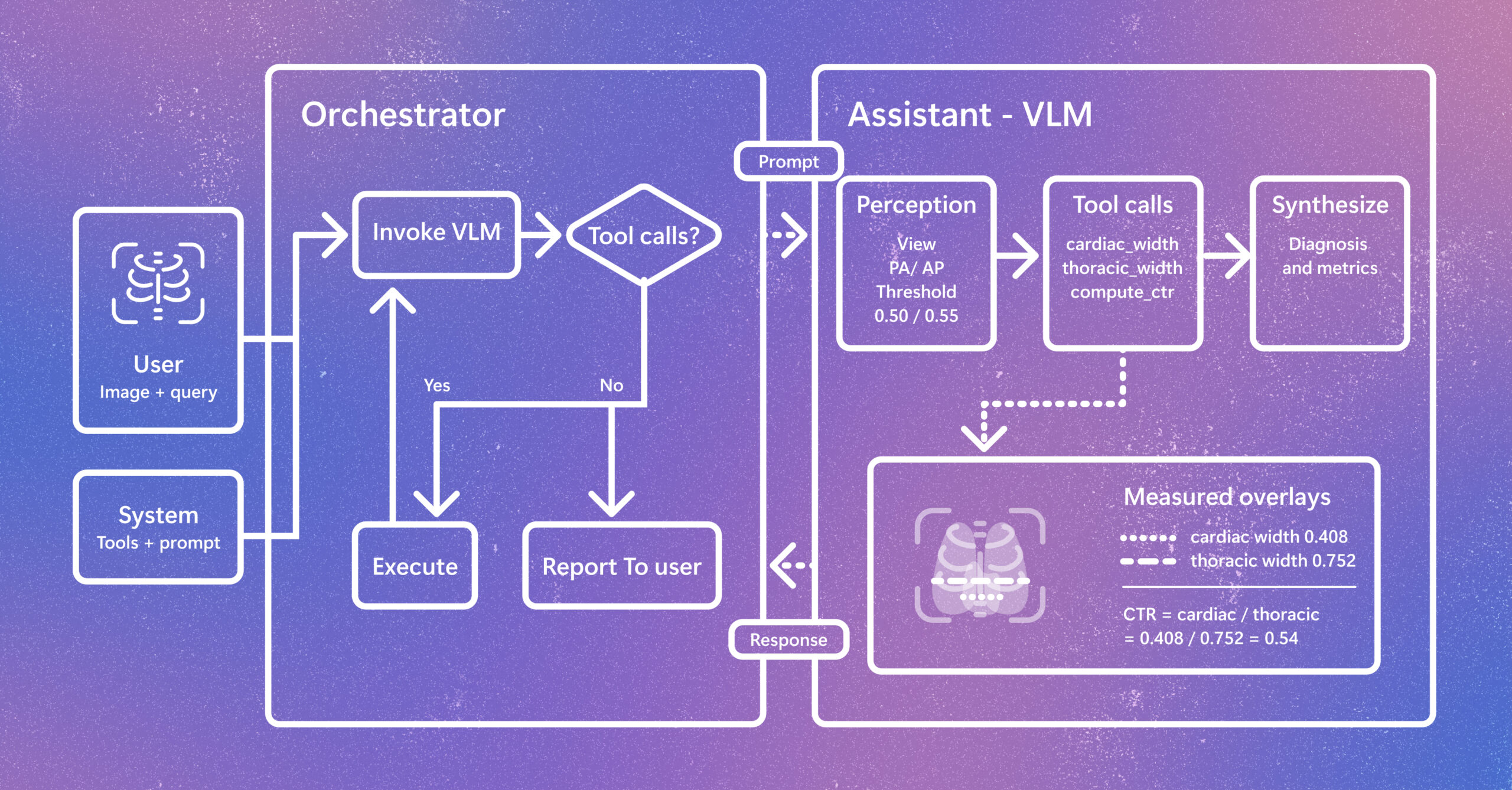
Introducing CARE-X: Towards Clinically Useful Radiology VLMs with Auxiliary Supervision, Reward-Aligned Learning, and Tool-Augmented Measurement

Radiology AI is evolving beyond report generation. CARE-X explores a unified approach that combines flexible reasoning, calibrated predictions, and measurement-based tools for chest X-ray interpretation. The post Introducing CARE-X: Towards Clinically Useful Radiology VLMs with Auxiliary Supervision, Reward-Aligned Learning, and Tool-Augmented Measurement appeared first on Microsoft Research.

We use cookies to run the site and, with your consent, for analytics and to show ads. See our Cookie Policy.