Skip to content

VegSim: A Geospatial World Model for Scenario-Conditioned Vegetation Simulation

Jun 2026 · arXiv.org · Vol abs/2606.21961 · 0 citations · 38 references
Computer Science

TL;DR

VegSim, a geospatial world model for scenario-conditioned vegetation simulation that infers a latent vegetation state from sparse satellite-derived NDVI histories, past meteorological covariates, and static spatial context, propagates it forward under future weather forcing through recurrent latent dynamics, and decodes predictive NDVI quantiles at each lead time.

Abstract

Vegetation monitoring under climate stress requires answering not only how it will evolve given the expected weather, but how it would respond to alternative meteorological conditions. Forecasting models return the expected vegetation state for the observed weather and cannot answer these scenario-conditioned questions, because future weather is fixed to the recorded trajectory. We present VegSim, a geospatial world model for scenario-conditioned vegetation simulation. VegSim infers a latent vegetation state from sparse satellite-derived NDVI histories, past meteorological covariates, and static spatial context, propagates it forward under future weather forcing through recurrent latent dynamics, and decodes predictive NDVI quantiles at each lead time. Because future forcing enters as a controllable input, the same trained model supports probabilistic forecasting under observed weather and conditional simulation under user-defined meteorological forcing, without supervision on scenario responses. We evaluate VegSim on GreenEarthNet across in-distribution data and spatial, temporal, and joint spatio-temporal shifts, where it achieves strong point and probabilistic accuracy against time series and Earth Observation forecasting baselines while using a compact architecture. We then simulate vegetation responses across Europe under two contrasting meteorological scenarios, obtaining a weak but broadly positive response under winter wet warming and a widespread negative response under summer drought. The code is available at https://github.com/arco-group/vegsim.

View source

Similar papers

Preprint Oct 2026

WUI-CAST: Real-Time Forecast Updating for Partially Observed Wildland-Urban Interface Fires

Wildland-urban interface (WUI) fires couple landscape spread, structural fire development, and wind-driven ember transport. Forecasting building risk requires models that incorporate emerging observations and update predictions as fires evolve. This study presents WUI-CAST, a framework integrating established fire-prop...

Can Wang, Nai-Yu Wang, Yang Zhou · 0 citations
#machine learning Preprint Oct 2026

Probabilistic Forecasting of Wildfire Size Using Conditional Flow Matching

In this work we present a probabilistic model for predicting the temporal evolution of wildfire size using conditional generative algorithms, namely flow matching. Rather than predicting spatially resolved fire progression, the proposed model forecasts a time series of fire acreage, substantially reducing computational...

Isaac Lee, Bryan Shaddy, A. Oberai · 0 citations
Preprint Nov 2026

Forecasting Earth Surface Change in Embedding Space

Repeated satellite imagery permits understanding of how our planet changes over time, letting us predict its future and plan mitigating actions. Most existing studies that rely on a time series of satellite observations forecast the spectral values at each pixel for a future target date. However, clouds, shadows, and s...

Jing-Tao Li, S. Jaffer, Anil Madhavapeddy et al. · 0 citations
#machine learning Preprint Oct 2026

Can AI Forecast the Extremes? Evaluating Probabilistic Weather Models on Tropical Cyclones

An extensive benchmark of tropical cyclone forecasting is conducted, comparing GenCast, FourCastNet 3, and FGN with ECMWF's operational physics-based ensemble, IFS-ENS, finding that leading AI models substantially outperform IFS-ENS in cyclone tracking.

Nathan Chalumeau, X. Renard, R. Meynadier et al. · 0 citations
Preprint Nov 2026

PARDIG: Global Precipitation Estimates Learned from Sparse Satellite Observations

Estimating precipitation at the global scale is vital for Earth system science and disaster response, yet observational coverage and measurement precision remain constrained. Existing solutions provide options that trade off desirable traits such as skill, latency, geographical coverage, temporal coverage, and spatial...

Guy Shalev, S. Rasp, B. Babenko et al. · 0 citations

Related blog posts

MIT News · Artificial Intelligence Nov 17, 2026

Learning the language of machine learning

By studying the computational foundations of language learning, Associate Professor Jacob Andreas builds intelligent systems that can communicate effectively with humans.

Microsoft Research Blog Nov 16, 2026

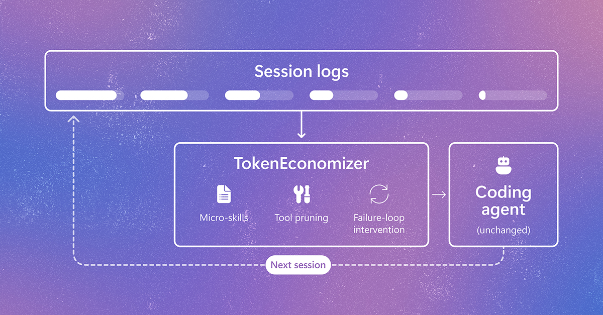
TokenEconomizer: Learning from Experience to Make AI Coding Agents More Efficient

AI coding agents are increasingly help developers fix bugs and build features largely on their own, but every interaction with their models consumes tokens. In each session, an agent sends instructions, tool descriptions, and session history to its model. Most efforts to reduce this cost focus on individual tasks. Yet developers return to the same […] The post TokenEconomizer: Learning from Experience to Make AI Coding Agents More Efficient appeared first on Microsoft Research.

We use cookies to run the site and, with your consent, for analytics and to show ads. See our Cookie Policy.