Oct 2026· Journal of Transportation Engineering Part A Systems· 0 citations· 25 references
Abstract
Traditional identification of accident-prone road sections relies on fixed-unit statistics, which has disadvantages that include missing spatial continuity of risk, boundary distortion, and information “averaging,” and struggles to support differentiated safety management. To address this issue, this study proposes a road accident risk field reconstruction model integrating dynamic spatial attenuation and probability-severity dual-dimensional coupling. First, based on the information diffusion principle and Gaussian kernel density estimation (KDE), a framework for converting discrete accident points into a continuous risk probability field is constructed, and a dynamic standard deviation function is proposed. This function enables the Gaussian kernel standard deviation to dynamically adapt to road design speed and cross-sectional type (with/without median divider), clarifying its physical correlation with drivers’ sight distance requirements. Second, by integrating casualties and direct economic losses, a continuous accident severity field is established through an accident equivalent loss function; the two fields are discretized using the quantile method, and combined with a risk matrix to generate comprehensive risk ratings (Levels I–V) via coupling. Verification using accident data from a Class II mountain highway in Guangxi shows the following: (1) the boundaries of the risk field generated by the model fit the road alignment well, with a probability field gradient smoothness of 0.0068, which can mitigate the boundary effect and step effect of the fixed-unit method; (2) compared with KDE with fixed bandwidth (0.35 km) and fixed-length segmentation method (0.5 km), the area under the curve (AUC) of the model’s probability field reaches 0.9641 (increased by 12.79% and 15.31%, respectively), the AUC of the severity field is 0.8669 (increased by 15.24% and 5.88%, respectively), and the Pearson correlation coefficient between the probability field and accident data is 0.4772 (increased by 11.01% and 3.77%, respectively), indicating that the identification accuracy and data fit have been improved; and (3) dual-dimensional coupling can distinguish risk patterns of high-frequency low-loss, low-frequency high-loss, and high-frequency high-loss, providing a quantitative basis for differentiated management. This model promotes the evolution of road risk assessment from discrete statistics to continuous field analysis, and can offer technical support for the optimal allocation of safety resources.

Road traffic crashes remain a major global safety concern, and segment-level crash analysis plays a critical role in identifying high-risk locations. However, such analyses are highly sensitive to spatial unit definitions, giving rise to the Modifiable Areal Unit Problem (MAUP). Existing studies predominantly rely on fixed or single-scale segmentation, which limits their ability to capture scale-dependent effects and may bias both model estimation and hotspot identification. To address this issue, this study proposes a hybrid multi-scale road segmentation framework that integrates roadway homogeneity with crash distribution characteristics. The framework employs a Poisson likelihood ratio test and leave-one-out cross-validation (LOOCV) to generate adaptive segmentation schemes, and evaluates MAUP effects through crash distribution analysis, negative binomial modeling, and external validation. The results show that segmentation choice materially affects statistical representation, model estimation, and predictive performance. Both the scale effect and the zoning effect of MAUP are found to influence crash modeling and hotspot-related inference, although their impacts are not identical. External validation reveals substantial performance differences among segmentation schemes, with Seg-6 showing the strongest predictive performance within the original parameter set; the sensitivity analysis further indicates that this result is locally robust within the evaluated parameter neighborhood. Major crash concentration patterns remain broadly stable across segmentation schemes, whereas minor local variations are more segmentation-sensitive. These findings show that segmentation should be treated as an explicit analytical design issue rather than a neutral preprocessing step, and provide a systematic basis for evaluating MAUP effects in segment-level traffic safety analysis.
Dibin Wei, Chi Zhang, Runzhu Luo et al.· Accident Analysis and Preven...· 1 citation
This study analyzes road traffic accident risk in Tanzania and introduces a composite Regional Road Accident Risk Index (RARI), defined as accidents per 100 km of road, to compare regional risk and assess progress toward SDG 3.6. A multi-method approach was used: national traffic fatality trends from 2000–2022 were modeled using ARIMA forecasting to 2030; a five-year regional panel of 30 regions from 2018–2022 was examined using fixed-effects Poisson regression; and spatial clustering of RARI values was assessed using GIS and Global Moran’s I. Results show that official fatalities declined markedly from the mid-2010s to 2020 but rose again in 2022–2023, suggesting that Tanzania is unlikely to sustain progress toward the SDG target without renewed interventions. Regression findings indicate that driver-related factors, especially speeding, reckless driving, and negligence, are the strongest predictors of accident counts, while vehicle defects and alcohol-related factors also increase risk. RARI reveals substantial regional disparities, with the national average close to one accident per 100 km annually, the highest-risk urban region reaching about 2.5 accidents per 100 km, and the lowest-risk regions around 0.3 accidents per 100 km. Spatial analysis confirms significant clustering, with high-risk areas concentrated around major urban centers and trunk highways. The study is limited by likely under-reporting in police data, lack of vehicle-kilometres-travelled data, and the short regional panel. Nevertheless, the combined forecasting, regression, and spatial approach provides actionable evidence for prioritizing enforcement, infrastructure improvements, vehicle safety checks, and protection of vulnerable road users in high-risk regions.
S. Hamisi· Journal of Environment, Clim...· 0 citations
Road traffic accidents on national highways pose a significant public health and economic challenge in Bangladesh, necessitating systematic safety assessment. This study analyzes accident trends, contributing factors, and spatial patterns by identifying accident-prone locations (blackspots) along the Kushtia–Jhenaidah National Highway (N704). Accident data for the period 2017–2021 were obtained from nearby police stations. In addition, a cluster random sampling approach was used to conduct a questionnaire survey involving 100 participants, including drivers and general road users, to capture behavioural insights related to accident occurrence. The study integrates descriptive statistical methods, such as trend analysis and frequency distribution, with spatial techniques including severity index evaluation, Kernel Density Estimation (KDE), and hotspot analysis.The findings indicate a decline in overall accident frequency from 2018 to 2021, while fatality rates increased in 2021. Heavy vehicles, particularly trucks, were identified as major contributors to accidents, and head-on collisions emerged as the most common crash type. Key risk factors include driver inexperience, mobile phone usage while driving, overspeeding, inadequate training, and nighttime driving conditions. The analysis further reveals that individuals aged 20–40 are the most affected group, with higher fatality rates among males and higher injury rates among females.A total of 35 accident-prone locations were identified, with several segments classified as blackspots based on accident frequency, injury severity, and fatality occurrence. The study recommends targeted interventions such as driver training, infrastructure improvement, enhanced enforcement, and coordinated policy actions to improve highway safety and reduce accident risks.
N. O, Bhagyalakshmi, Surendrababu M S et al.· International Journal of Res...· 0 citations
Long-term dam safety assessment relies on continuous monitoring data from multiple spatially distributed measurement points. However, monitoring data are affected by measurement noise, environmental disturbances, and model errors, while the spatial correlation among monitoring points is often ignored, leading to biased uncertainty estimation and unreliable prediction intervals. To address these issues, this study proposes a spatial-correlation-aware distribution-adaptive interval prediction method for dam monitoring via two-level uncertainty fusion. Measurement random noise is first separated using a filtering strategy, and its uncertainty is updated by incorporating the spatial correlation among multiple monitoring points. A regression model is then established based on the filtered monitoring data, and model prediction uncertainty is quantified from the residual distribution. The two uncertainty components are further integrated to construct distribution-adaptive asymmetric prediction intervals. The proposed method is verified using deformation monitoring data from the PB high core rockfill dam. The results show that the proposed method achieves an average PICP of 0.9898 on the training set, close to the target coverage level of 0.99, while reducing the average NMPIW by 16.9% and 13.4% compared with the symmetric interval method and the traditional 3σ method, respectively. On the validation set, the average NMPIW is further reduced by 18.4% and 26.5%, demonstrating that the proposed method can provide more compact and informative prediction intervals for refined dam safety monitoring.
Guangze Shen, Xiang Lu, Junru Li et al.· Applied Sciences· 0 citations
This study presents a comprehensive multidimensional analysis of pedestrian accidents in Amman, Jordan, from 2014 to 2023. By integrating spatial, temporal, and statistical techniques, the research identifies critical risk patterns to inform evidence-based safety interventions. Characterizing a decade-long database of 14,821 cases, the study utilizes radar graphs, Kernel Density Estimation (KDE), and DBSCAN cluster analysis to delineate high-risk zones and temporal peaks. Temporal findings indicate that Thursdays recorded the highest accident frequency (2382 cases), with peak occurrences between 17:00 and 23:00. Spatial clustering identified five significant high-risk zones, with Central Amman emerging as the primary critical area. The study’s novelty lies in being the first in the Jordanian context to bridge accident frequency with severity mechanisms by integrating advanced spatial clustering and KDE with a robust Ordered Logit Model. Severity analysis reveals that while 59.34% of incidents resulted in minimal injuries, fatalities accounted for 5.02%. The model demonstrates that injury outcomes are systematically associated with traffic dynamics and behavior rather than environmental factors. Speed-related driver error was identified as the strongest predictor of severe outcomes (OR = 81.3). Significant dependencies were confirmed between vehicle category and road type (χ2 = 2182.20, p < 0.001), lighting and road surface (χ2 = 76.21, p < 0.001), and vehicle type and lighting (χ2 = 148.52, p < 0.001). The study proposes a multi-layered framework combining site-specific nodal improvements with corridor-level strategies to enhance urban safety in Amman City.
Haitham A. Al Hasanat, Omar Alharasees, Lafee Alshamaileh et al.· ISPRS International Journal...· 0 citations
Historically, mountain activities have been associated to accidents, injuries and fatalities. The spatial and temporal context, however, has been largely neglected, with most studies focusing on proximal causes of accidents. The objective of the present study is to analyse the effects of spatial and temporal covariables on the distribution of mountain accidents in a specific area over a span of 11 years. The current dataset includes 572 rescues on Montserrat Natural Protected Area between 2011 and 2021 and comprises 249 climbing rescues and 310 hiking rescues. We assume that mountain accidents follow a Log-Gaussian Cox Process (LGCP) and we consider an empirical analysis of the first-order characteristics. Then we propose a model in which the conditional intensity of the point process depends on some specific spatial and temporal covariables affecting the distribution of this space-time point pattern. We use the inhomogeneous spatio-temporal K-function to estimate second-order properties. Finally, we model the residual spatio-temporal variation as a stochastic process using a space-time covariance function under a separable space-time structure, and we conduct a risk analysis based on the resulting full LGCP through the Value-at-Risk. The results indicate that rescues are clustered over short distances, typically below 100–300 m. Spatial and temporal predictors differ across activities, while risk remains consistently concentrated in specific areas throughout the study period. Overall, the full LGCP model shows a good fit and is able to generate simulations consistent with the observed data.
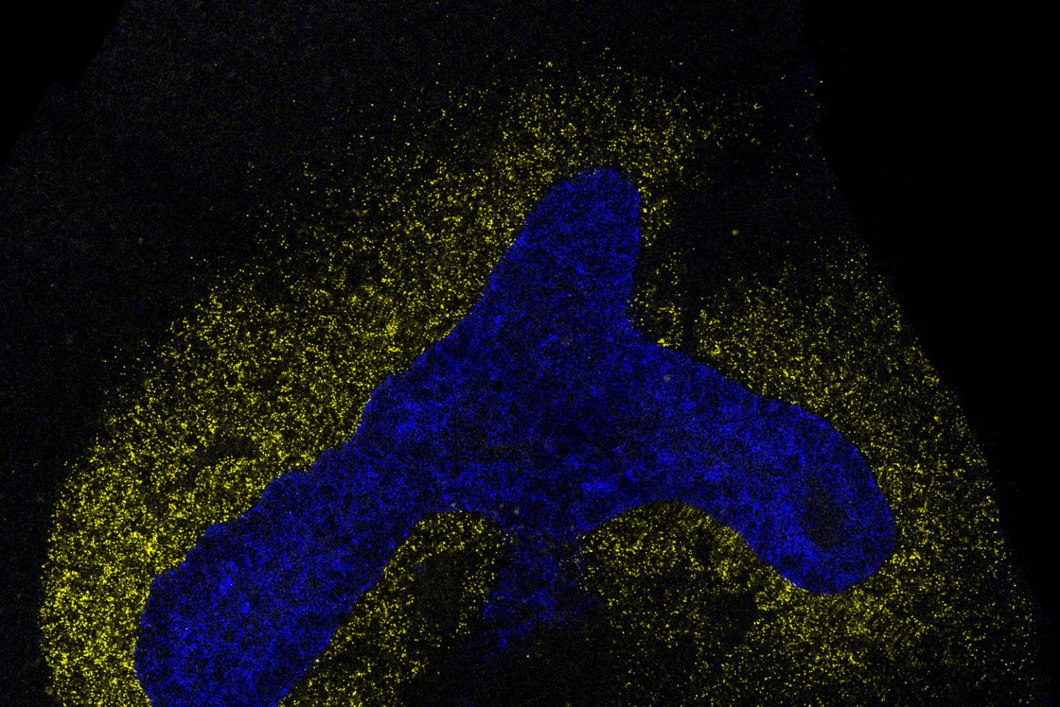
What if pathology foundation models could do more with less? GigaPath-Flash and GigaTIME-Flash cut computational demands while maintaining strong performance, opening the door to larger studies and broader exploration. The post GigaPath-Flash and GigaTIME-Flash: Toward population-scale discovery with efficient pathology foundation models appeared first on Microsoft Research.